Today is moving day. We are leaving Dawson Springs, Kentucky and heading about 200 miles east to Somerset, Kentucky and a COE campground called Fishing Creek. We packed up and left Dawson Springs about 10:00 am and arrived at Fishing Creek Campground around 2:30 pm Central time. However, since we crossed into the Eastern time zone, our arrival time was 3:30 pm local time. We made one stop for fuel and had our usual travel lunch that Kitty had packed.
We got a list of open sites at the campground office, and took our car through the campground checking out all the open sites. Most of these sites were too small, but we decided we could fit into site #6. We knew this would be a tight squeeze, but it was a nice level site with a view of the Lake. As we started to back into this site, a neighbor, who camps here all the time, came out and suggested we try site #5. It is across the street, but had an uphill climb. The neighbor said we could probably fit on our original site, but wouldn't have as much room as site #5, and his friend has a unit about our size and really likes site 5. When we originally looked at site 5 and knew it was larger, but were concerned with the up hill approach and knew we would have to jack the front end pretty high to get level. After considering all the pros and cons, we decided to take the neighbor's advice and switch to site 5.
We did have to raise the front up pretty high, but not as high as our original site in Dawson Springs. That was at nose bleed heights, this one was almost to nose bleed heights. This site is encased with a stone wall going around all three sides and has plenty of room for a picnic table and fire ring. It also has a view of the lake and we are glad we changed.
Speaking of the Lake, our neighbor informed us the water level is down about 50 feet due to construction on the dam that will take another year to complete. This makes the lake much smaller and it's interesting to see what the bottom of the lake looks like when the water level is so low. But, all things considered, we'd rather have the higher water level.
Here's some shots of our site.


Here's the site across the road from our site.


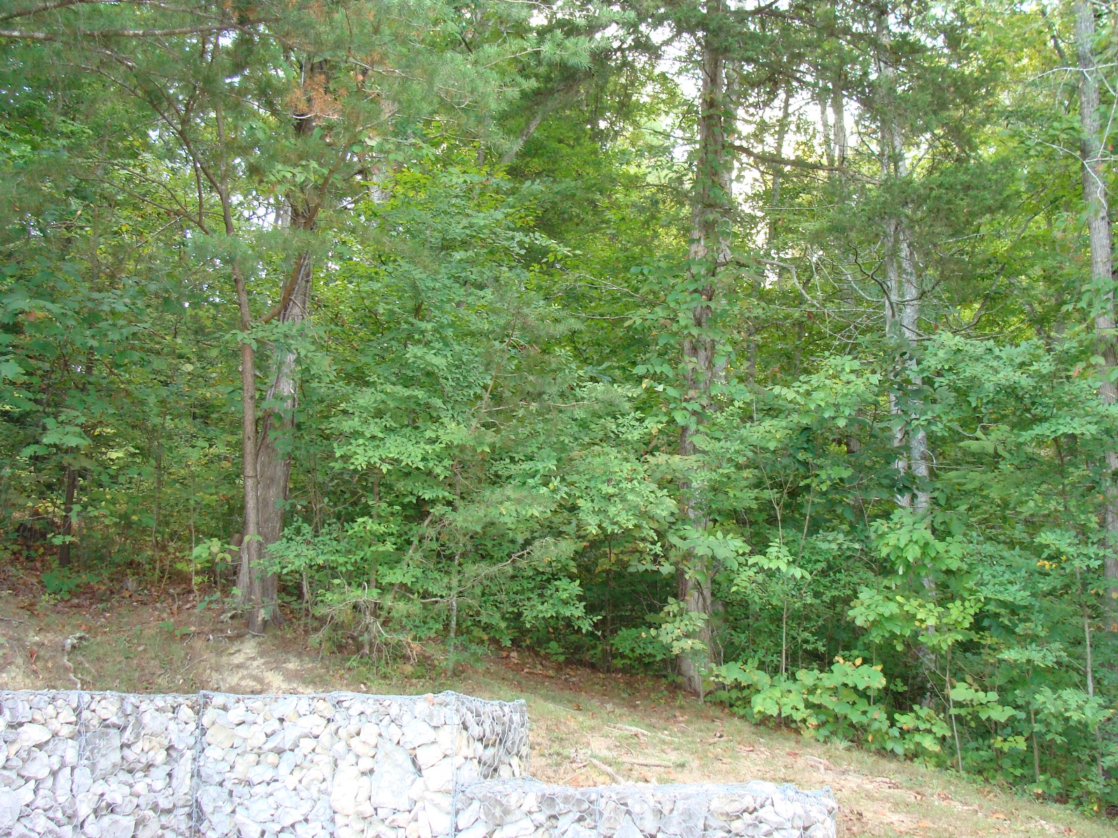
Here's a shot of the trees and stone wall at our site.

It rained most of the day Saturday. This put a damper on our plans to see the nearby civil war battlefield and museum. There was suppose to be the annual Poker Run at Lee's Ford Marina, with the big cigarette boat races and lots of other activities including a wet t-shirt contest. For some reason, Kitty didn't want to go - she kept muttering something about being bad for my heart -??!! Guess she didn't want to get her t-shirt wet! Ha! Anyway, it was all cancelled due to the weather.
So we headed out looking for the tourist information center to see if there is anything else in this area that we might want to see while it was raining. We went in the direction we though was correct, then changed our minds and turned around and went the opposite direction. To make a long story short, our original direction proved to be correct. We finally got to the tourist information center and found it was closed on weekends after Labor Day. So, we did some shopping for groceries and scouted the area for future stops. Looks like Kitty found a Cracker Barrel so guess I know what one of those stops will be.
Tomorrow, the weather promises to be better. So, we'll stop at the civil war museum and battle field, then visit a couple of marinas. Stay tuned!
Tomorrow, the weather promises to be better. So, we'll stop at the civil war museum and battle field, then visit a couple of marinas. Stay tuned!
No comments:
Post a Comment