Friday, May 20, 2016

Mill Creek Campground on Table Rock Lake, Lampe, Missouri

Friday May 20, 2016


Mill Creek Campground is a US Army Corps of Engineer campground overlooking Table Rock Lake. The campground roads are paved and the sites are paved and level.  It is a neat clean campground with great views of Table Rock Lake.


We have a nice view of the lake, and we really enjoyed all of the blue birds that visited us while we were here!


Let's take a tour around this campground and enjoy some of the views.


Kallie really enjoyed that tour!  Hope you did too.


A short drive across the lake on SR-13 is Kimberling City and one of our favorite restaurants called RT's.  They have the best broasted chicken we've ever eaten and their pizzas are pretty good as well.  A short drive farther on SR-13 is Branson West.  Kitty fell in love with a quilt shop there called The Quilted Cow!  I am not really much into quilts, but that was a pretty cool store.


The weather was nice while we were here and the sunsets were superb


The setting sun means the sun is also setting on our trip through Arkansas and Missouri.  Now, it's on the Kentucky and Illinois to visit with our families and some old friends.

Thursday, May 19, 2016

Going up Mount Magazine, Paris, Arkansas

Thursday, May 19, 2016


Mount Magazine State Park is located near Paris, Arkansas, and is only a few miles from our camp site in Ozark, Ar.  The peak of Mount Magazine is 2753 feet above sea level and is the highest peak in the Ozarks.  It boasts 14 miles of trails that connect with the Ozark National Forest Trails to offer nearly 60 miles of back country paths.  This sounds like a hikers paradise to us.

In preparing for our ascent up this mountain, we did our research first, like most experienced hikers always do.  Our research revealed several warnings that all hikers should be aware of before setting out along any of the 14 miles of trails.  First, stay on the trails.  Getting off the marked trails can cause confusion and hikers can become disoriented.  It can also destroy rare and delicate wildflowers. Second, watch your step.  Some trails take you to the brink of bluffs and can be very dangerous when walking on loose or wet rocks.  Wear proper hiking gear, use a walking stick, and take plenty of water.  Don't pick wild flowers or leave any litter behind.  The last warning made me really anxious. Watch out for Bears!  Since I am a Chicago Bears fan, I was hoping we come across one.  Then Kitty explained that warning was for the four legged bears, not the two legged ones!  I still was unafraid and confident in the knowledge that I could out run Kitty!

Feeling comfortable we were properly prepared, the three of us began our long arduous journey up Mount Magazine.  Stopping along the way, we took some pictures.


Kallie, Kitty, and I stopped to catch our breath.  I could tell Kallie was a little winded since she refused to look at the camera.


This view is actually looking back toward our campground in Ozark several miles away.


I felt safe walking out onto this bluff to take some pictures since it had a fence!


There's no fence on this bluff to protect me.  Looking down at that dead tree was a reminder of what could happen to me if I was to slip on these rocks!


We're near the top of Mount Magazine looking down at the lodge.  The original lodge was built during the great depression, but burned down in 1971.  It took about thirty years to replace it with this beautiful lodge.  It was built in 2004 and offers spectacular views of the valley below.


This shot was taken from the rear balcony of the lodge looking down at Blue Mountain Lake.


Here's Kallie, Kitty, and me near the lodge.  Looks like Kallie finally caught her breath!


 Now you kids at home, don't try hang gliding off this ridge!  You have to be certified...crazy!


This is what it looks like when you step off the ledge!


Well that's it for us.  We really enjoyed our adventure up Mount Magazine even though we didn't see any Chicago Bears!  All of this exercise getting in and out of our truck has really tired us out!  So, we are heading back to our camp in Ozark.  Tomorrow, we are heading to Table Rock Lake in south eastern Missouri.

Wednesday, May 18, 2016

Early History of Fort Smith, Arkansas

Wednesday, May 18, 2016


From our campsite in Ozark, we make the 39 mile drive to Fort Smith in about 45 minutes.  Finding a parking space was easy and we had a short walk to the visitor center which is located in the building that was once the courthouse, barracks, and jail.  We were greeted by a friendly and knowledgeable person at the information desk.  After listening to him give us an overview of this National Historic Site, we watched a short, but informative, video about the history of Fort Smith.

The original Fort Smith was built in 1817 to keep the peace between the Osage and Cherokee Indians.  It was located on the Arkansas and Poteau rivers at Belle Point.  The original fort was made of stone and logs.  But, by 1824, the frontier had already moved farther west, so the army abandon the fort and move farther west to help keep the peace.

This is a drawing of what the first fort looked like


The logs have long since rotted away and the stone foundation is all that remains today.


The second Fort Smith was built in 1838 out of fear of an Indian attack.  But by the mid 1840's the forts built farther west required a supply depot, and Fort Smith became an important supply depot. The Arkansas River was the main means of bringing supplies here from St. Louis and it also was the main water route for the "trail of tears" movement of Indians from the East to reservations in Oklahoma.


This is a painting of the second fort Smith showing the wall around the fort.  The building in the center and lower right corner are still standing today as you will see next.


This is the commissary used to house the supplies that arrived here to support forts farther West.  It is the building pictured in the lower right corner in the above painting. 


The old courthouse was in the right half of this building and the jail was in the left half basement.  This building is in the center of the painting shown above.


The jail could hold up to fifty men and had no heat, ventilation, or indoor toilets.  It was called "Hell on the Border", due to the unbearable conditions.   The court house on the right was used by the famous Judge Isaac C. Parker, better know as "the hanging judge".  This building is now the visitors center and a museum.


The hanging gallows were first used in 1873.  It was capable of hanging 12 people at one time.  But the most people ever hanged at one time here was 6.  Judge Parker sentenced 160 men to hang.  But only 86 were actually hanged in 39 separate executions.  After seeing these gallows, we decided not to hang around here any longer!


   It's time for lunch!  So headed across the street to Rolando's for some fantastic South American food.  If you happen to find yourself in Fort Smith, you will enjoy Rolando's!  Guaranteed!

Tuesday, May 17, 2016

Aux Arc Park, Ozark, Arkansas

Tuesday, May 17, 2016


You are probably asking yourself, why would anyone in their right mind name a park Aux Ark?   What the heck is an Aux Arc?  Well, Aux Arc is French for big bend.  The early French explorers named this section of the Arkansas River Aux Arc because the river makes a big bend in this location. Many years later, the US Army Corps of Engineers made a lock and dam here creating Ozark Lake, which covers 10,600 acres and has 173 miles of shoreline.  The campground layout allows each of the 57 sites to be on the water or have a water view.  The park has a playground area, boat launch, bath house, and dump station.


We have a shady water front site.


The next two photos show our back yard lake view.


We will be spending the next three nights here using this as our base to explore Fort Smith and climb to the highest peak in the Ozark.  So, stay with us and enjoy the ride!

Saturday, May 14, 2016

Lake Ouachita Near Royal, Arkansas

Saturday, May 14, 2016


You may recall my last blog when I mentioned about not following the GPS, well we followed the GPS this time and we couldn't find Brady Mountain Campground.  We were at Lake Ouachita for sure, but there were no signs directing us to the campground.  We tried calling the campground, but the cell signal was nonexistent.  Where's the ranger when you need one!  Ahh...OK...we're lost!

After scratching my head trying to figure out what the heck went so darn wrong, I finally discovered some fool loaded the wrong address in the GPS!  Ahh...ok...that would have been me!  Once we got that corrected, we found we only missed the campground by some 20 miles!  Ahh...OK...at least we were in the right state!

We finally drove to the top of a mountain and pulled into Brady Mountain Recreation Area only to find out that our campsite was electric only, no water.  We normally don't carry much water in our tank to keep the trailer weight down, so we had to fill the water tank up before getting to our site.  No problem!  After all, we're only going to be here three nights.

However, getting into our site was another issue.  It involved backing the camper up a hill and making a sharp turn to miss ALL of the strategically place pine trees. Once in the site we had to level the camper and then unhooked.  Once we were unhooked, we realized we were too close to another strategically placed pine tree to unroll the awning.  Ahh...Did I mentioned we picked up a nail in our truck tire and had a slow leak!  "Does anyone have vodka, or gin around here?"  I could use about a gallon right about now!


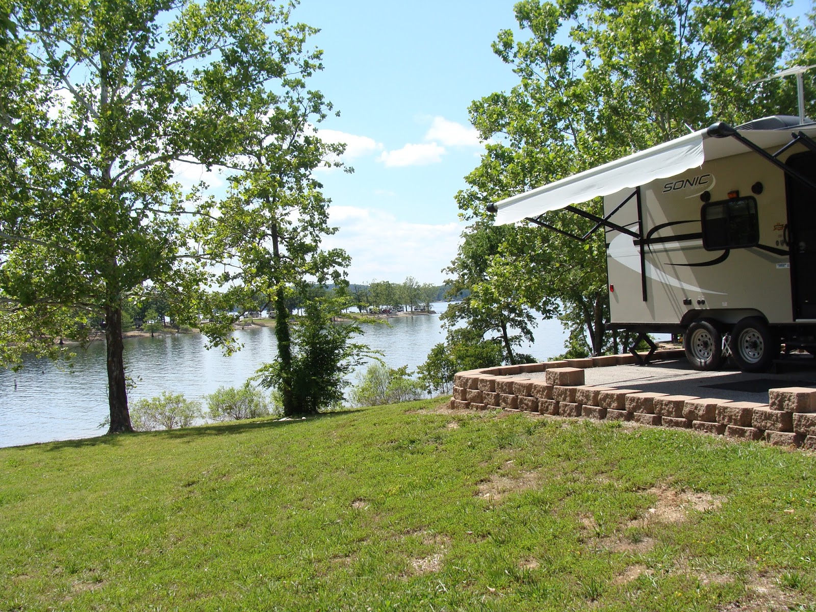
Here we are nestled tightly in our campsite


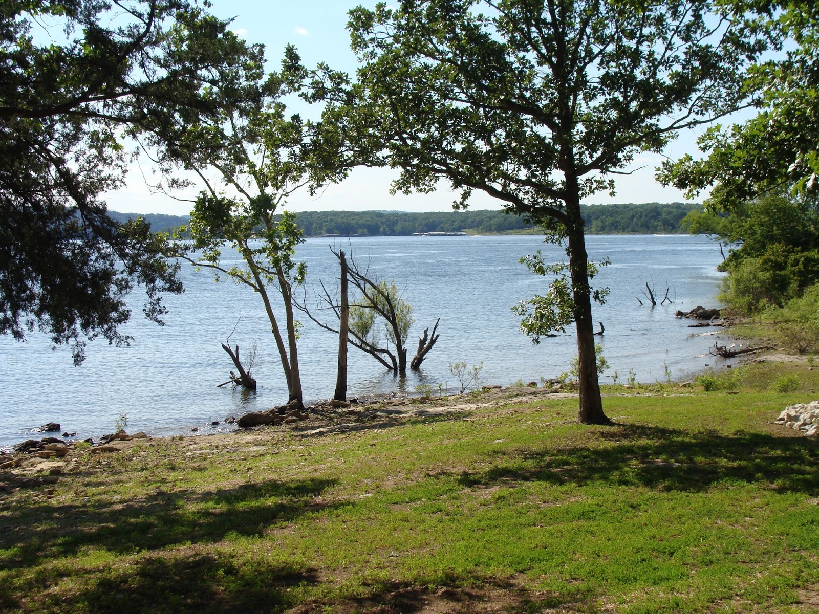
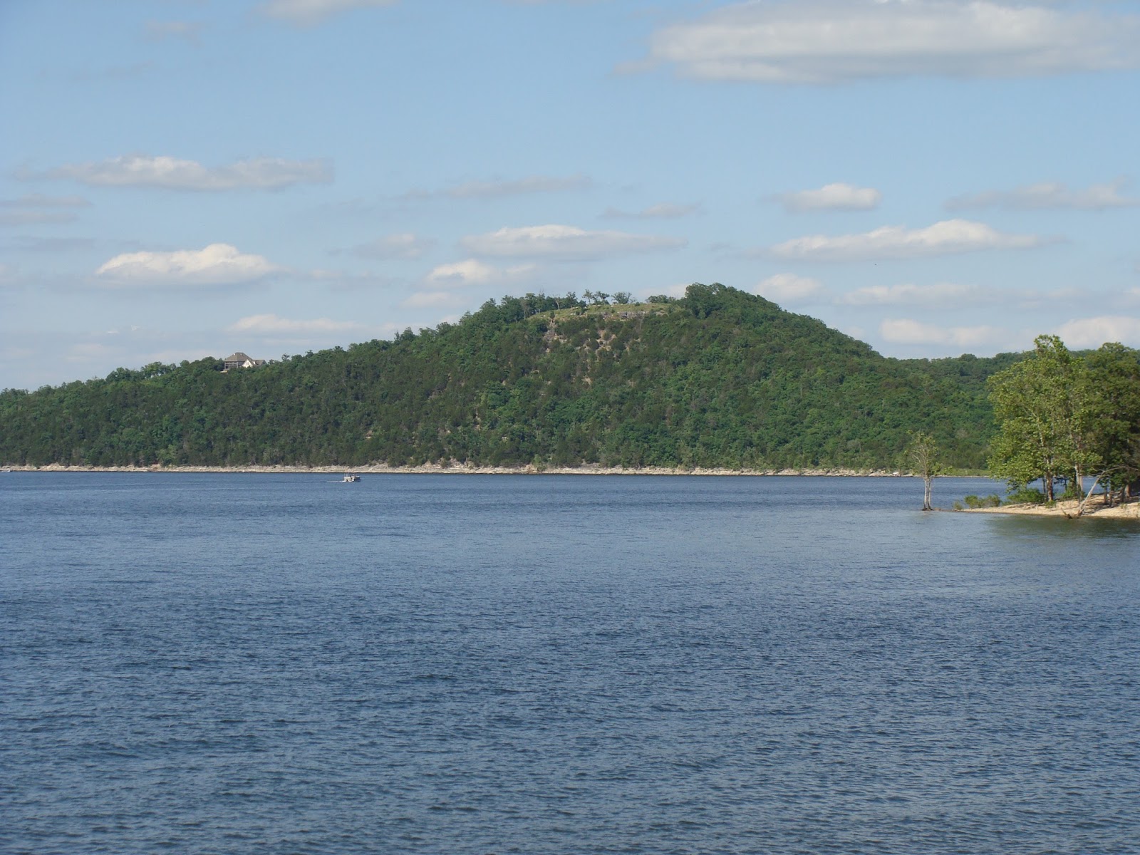
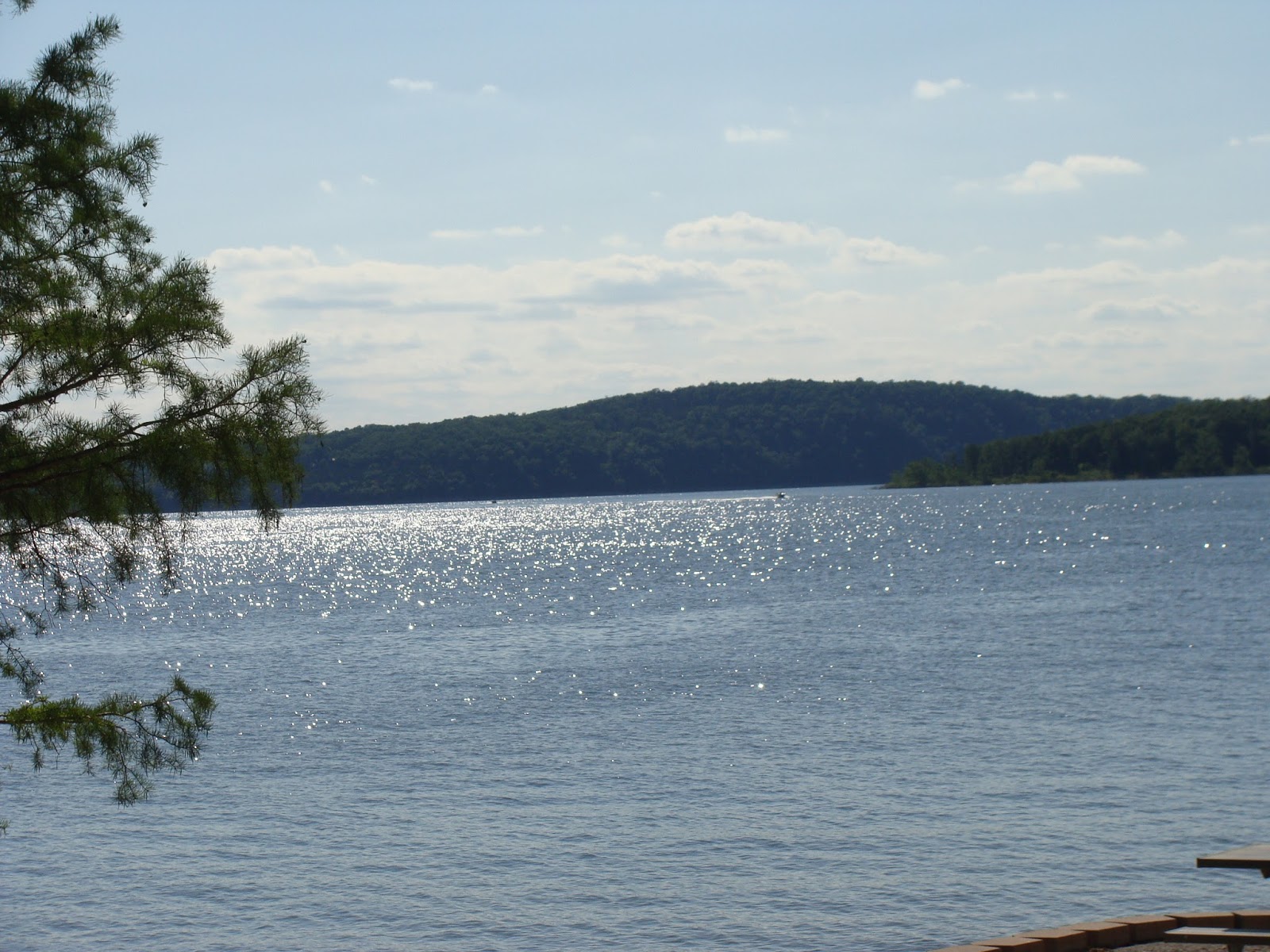
Brady Mountain Recreation Area is a beautiful location!  It's on top of a mountain and overlooks Lake Ouachita.  This lake was made by the U.S. Army Corps of Engineers.  The lake was completed in 1953 and extends some 39 miles.  Ouachita is an Indian word meaning river of good hunting grounds.  But, don't ask me how to pronounce Ouachita!

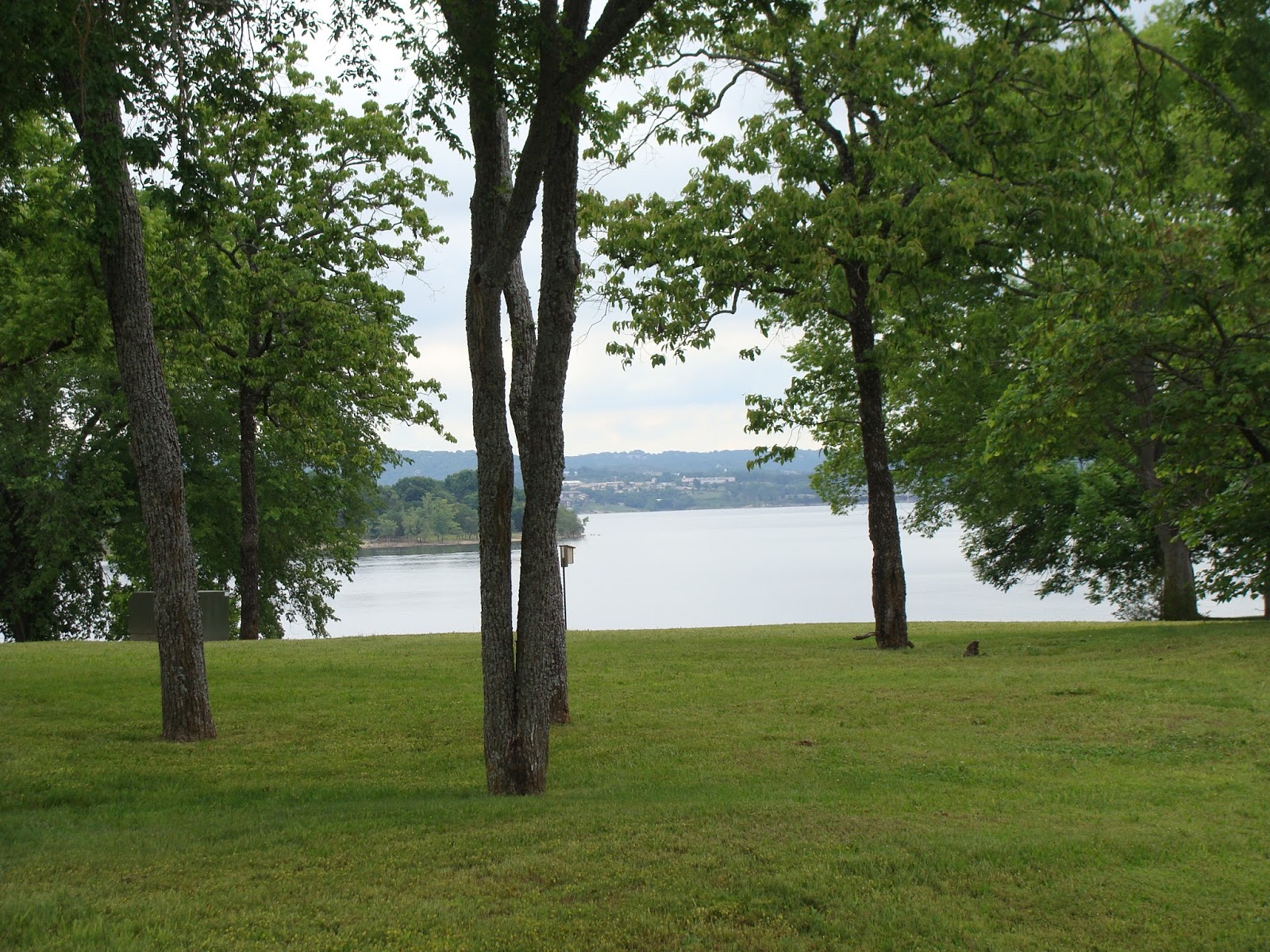
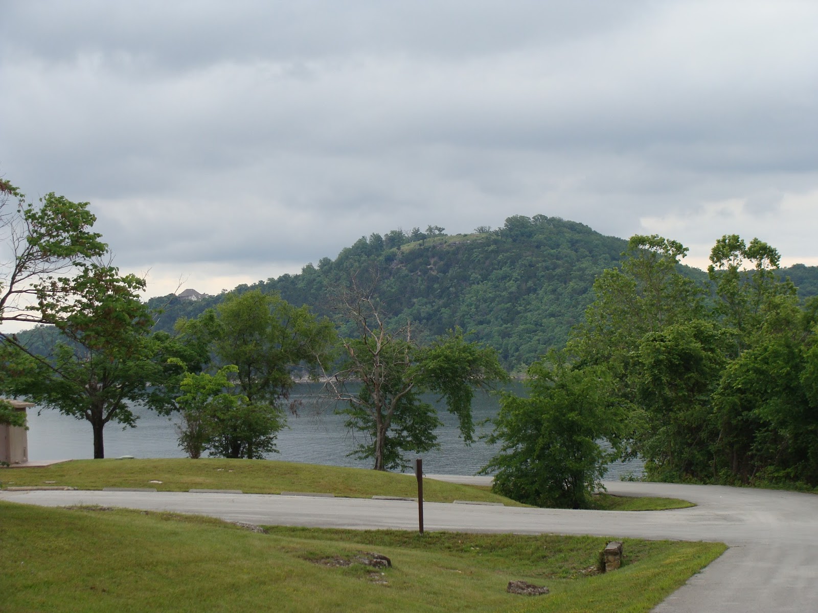
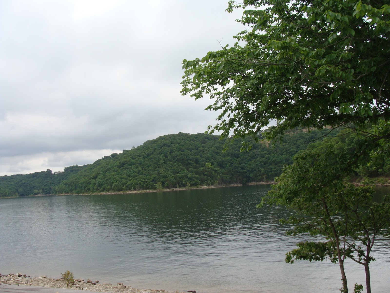
The next three pictures were taken in our campground.   


Can you find the squirrel in this picture?


We didn't realize our campground had an upper level.  The sites up there were paved and fairly level, and the views were gorgeous.


This family decided to take a swim!


We took a little drive over to Blakely Dam which is located on the south east end of Lake Ouachita.

This is a shot above the dam.


This one is looking below the dam.


These trees are growing straight up in contrast to the slop of the dam.


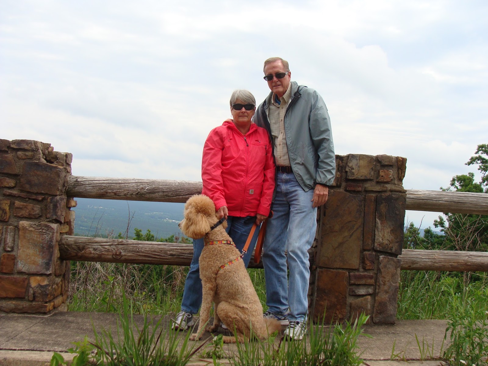
Kitty and Kallie are enjoying the views.


Since we were only a few miles west of Hot Springs, we drove into town to see the famous bath houses which is now a National Park.  But, since it was raining, we did not get out of the truck to take a tour.  However, we did enjoy some great Arkansas BBQ at Stubbies!  We bought enough BBQ to last a couple of days and we enjoyed it more each time we ate it!

Despite some cool weather, a little rain, and no cell coverage, our three days here went by faster than expected.  Next, we move on the Ozark, Ar.  Stay tuned!

Friday, May 13, 2016

Lefleurs Bluff-Mays Lake State Park, Jackson, Mississippi

Friday, May 13, 2016

We are heading to Arkansas from South Florida, and decided to spend the night in Jackson, Mississippi. Mays Lake Campground is a short distance from Interstate-55, but don't rely on your GPS to get you to there.  Follow the directions provided by the park and you won't have any trouble finding it like we did!

I would not call this campground a bad campground, but it would not rank high on our favorite list.Several sites have a nice water front view of Mays Lake, but gravel must be in short supply in this park.  That could be because it is prone to flooding during heavy rains.  All of the campground roads were dusty, and a few loads of gravel would go a long way to improving the camping sites.  Fortunately, we avoided any rain while we were here, or we would have had a mud bath.  But the location is close enough to I-55 that it's a convenient stopover place.

We had a nice water front site.

The picnic area could use a little grass.


The sun was going down and casting long shadows.


We woke up Saturday morning and were greeted by fog on the lake.  We wanted to get an early departure today, so we couldn't enjoy this view for very long.


If all goes well today, we should arrive in Hot Springs, Arkansas by mid afternoon.  That's assuming the Mississippi roads don't shake us to pieces first.  We took extra care to strap everything down before heading back out on these roads, which are a cross between a washboard and a roller coaster!